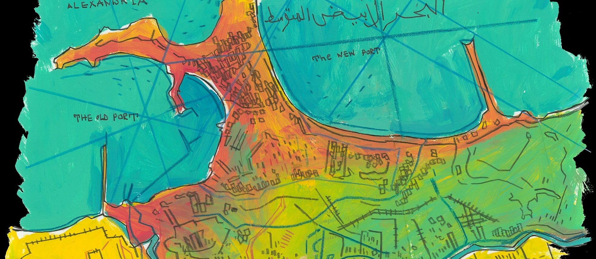
River as a landscape – Nilotic landscapes

The “Palestrina Mosaic” or “Nile mosaic of Palestrina”, a town near Italy’s capital Rome, is a late Hellenistic floor mosaic depicting the Nile in its passage from the Blue Nile to the Mediterranean.

Around 100 BCE, Nile landscapes were quite a fashion in Roman art. In fact, wikipedia has a whole article on “Nilotic landscapes” as an art subgenre of its own. The allure of the Nile and it’s natural and social surrounding must have been so great across the Mediterranean world, that from Ancient Egypt to the Minoans (2.000 BCE), the Greeks (500 BCE), the Romans (until the 7. Century CE) and into the Renaissance in the 16. Century, Nile landscapes were a popular motive in painting as well as mosaics and tapestry.

The Palestrina mosaic shows beautifully how water, land, vegetation and social life were interconnected in the Egyptian societies along the Nile. It’s a fluid, constantly changing and evolving concept of landscape and of society, I find very inspirational.

Alexandria II

This is the introduction to “Pharos and Pharillon” a book by British writer and literary critic E.M. Forster about Alexandria. The book was published in 1923. Forster was stationed in Alexandria during his service in the British military and wrote two books about the port city.

“Before there was civilization in Egypt, or the delta of the Nile had been formed, the whole country as far south as modern Cairo lay under the sea. The shores of this sea were a limestone desert. The coast line was smooth usually, but at the north-west corner a remarkable spur jutted out from the main mass. It was less than a mile wide, but thirty miles long. Its base is not far from Bahig, Alexandria is built half-way down it, its tip is the headland of Aboukir. On either side of it there was once deep salt water.

Centuries passed, and the Nile, issuing out of its crack above Cairo, kept carrying down the muds of Upper Egypt and dropping them as soon as its current slackened. In the north-west corner they were arrested by this spur and began to silt up against it. It was a shelter not only from the outer sea, but from the prevalent wind. Alluvial land appeared; the large shallow lake of Mariout was formed; and the current of the
Nile, unable to escape through the limestone barrier, rounded the headland of Aboukir and entered the outer sea by what was known in historical times as the “Canopic” mouth.

To the north of the spur and more or less parallel to it runs a second range of limestone. It is much shorter, also much lower, lying mainly below the surface of the sea in the form of reefs, but without it there would have been no harbours (and consequently no Alexandria), because it breaks the force of the waves. Starting at Agame, it continues as a series of rocks across the entrance of the modern harbour. Then it
re-emerges to form the promontory of Ras el Tin, disappears into a second series of rocks that close the entrance of the Eastern Harbour, and makes its final appearance as the promontory of Silsileh, after which it rejoins the big spur.

Such is the scene where the following actions and editations take place; that limestone ridge, with alluvial country on one side of it and harbours on the other, jutting from the desert, pointing towards the Nile; a scene unique in Egypt, nor have the Alexandrians ever been truly Egyptian. Here Africans, Greeks and Jews combined to make a city; here a thousand years later the Arabs set faintly but durably the impress of
the Orient; here after secular decay rose another city, still visible, where I worked or appeared to work during a recent war. Pharos, the vast and heroic lighthouse that dominated the first city—under Pharos I have grouped a few antique events; to modern events and to personal impressions I have given the name of Pharillon, the obscure successor of Pharos, which clung for a time to the low rock of Silsileh and then slid unobserved into the Mediterranean.”

full book here.

M-o-s-e

The flood protection system that was installed in 2021 to protect Venice from rising sea level effects is named MOSE (for Modulo Sperimentale Elettromeccanico). The name was chosen to allude to the story of Moses dividing the Red Sea to save the judaic tribe in the Jewish and Christian Old Testament. The plans for MOSE were already introduced in the 1980s but it’s completion took amlmost 40 years.

A flooded St Mark’s Square by St Mark’s Basilica in Venice, 15 November 2019. Photo by Filippo Monteforte/AFP/Getty
Venice during highwater. © Andrea Merola/dpa
The M-O-S-E Sea Barrier

In the same manner the sea wall that is currently in planning for Jakarta is named – and shaped – after an ancient myth: The giant bird Garuda.

Both projects show, that the municipalities believed in the role of cultural history in the political communication of climata adaptation measures.

Colapesce

One of the best known folktales from Sicilly is the story of the amphibic boy Colapesce, who saves the city Messina (or the island of sicily according to some texts) from drowning. There are several divergent versions of the story, apparently the oldest one dating back to the 12. Century and this is also the one commonly found online.

I found another version, which tells about the rape of Colapesce’s mother by a dolphin while she went swimming in the sea. There are numerous similar stories of sexual encounters – some romantic and consentient, others forced and violent – between women and sea animals like seal, fish or whales from Alaska, Scandinavia as well as the Mediterranean.

I could not find an english translation of this version but here is the more common and much shorter version as can be found online in english:

“There once was the son of a fisherman named Nicola (Cola) who lived in Messina. Cola spent his days swimming in the sea and exploring the underwater world as if it was his own. His mother didn’t approve of this pastime, since Cola would often release fish caught for food back into the sea. One day, filled with anger, she yelled at him “Cola! May you turn into a fish!”.

As time passed, his skin turned scaly, and his feet and hands began to look like fins. Cola’s fate quickly became the talk of town all over Sicily, and even caught the attention of the King. The King, incredulous that Cola’s condition could be true, made the trip to Messina to see for himself.

Testing the young Cola, the king threw a gold cup into the sea and ordered him to retrieve it. Cola did as he was asked, and the King repeated the same test twice more, using even more valuable objects. For the last test, rather than the gold cup, the King threw his very own crown into a deeper part of the sea. While Cola was searching for the crown, he saw that his island, Sicily, was held up by only three columns. Two of the columns were intact, but the third was perilously filled with cracks and looked ready to collapse at any moment. Cola decided to stay in the ocean and take the place of that third column so that his beloved Sicily wouldn’t fall. To this day, Colapesce holds up that part of the island. Every so often, between the regions of Messina and Catania, the earth trembles. Locals say that there’s no need for concern— it’s only Colapesce moving the island from one tired shoulder to the other.”

from this site.

Atlas of Mediterranean Liquidity

A project of speculative mapping and audio art about sea level rise in the Mediterranean: Link