A project of speculative mapping and audio art about sea level rise in the Mediterranean: Link

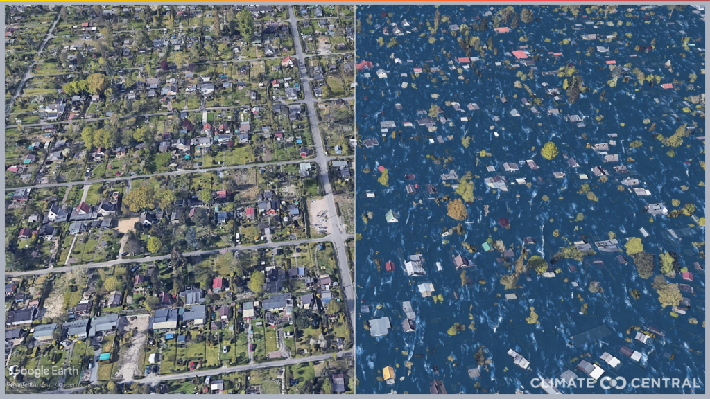
There are many projects for the visualisation of the effects of rising sea levels. The US-American company Climate Central presents dozens of photo-realistic images of potentially flooded areas. Like the flooded Super Bowl Stadium in Florida:

They even offer animated gifs and other before-after-imagery. In this example a section of Hamburg in Germany now (left side) and 50 years from now (right).
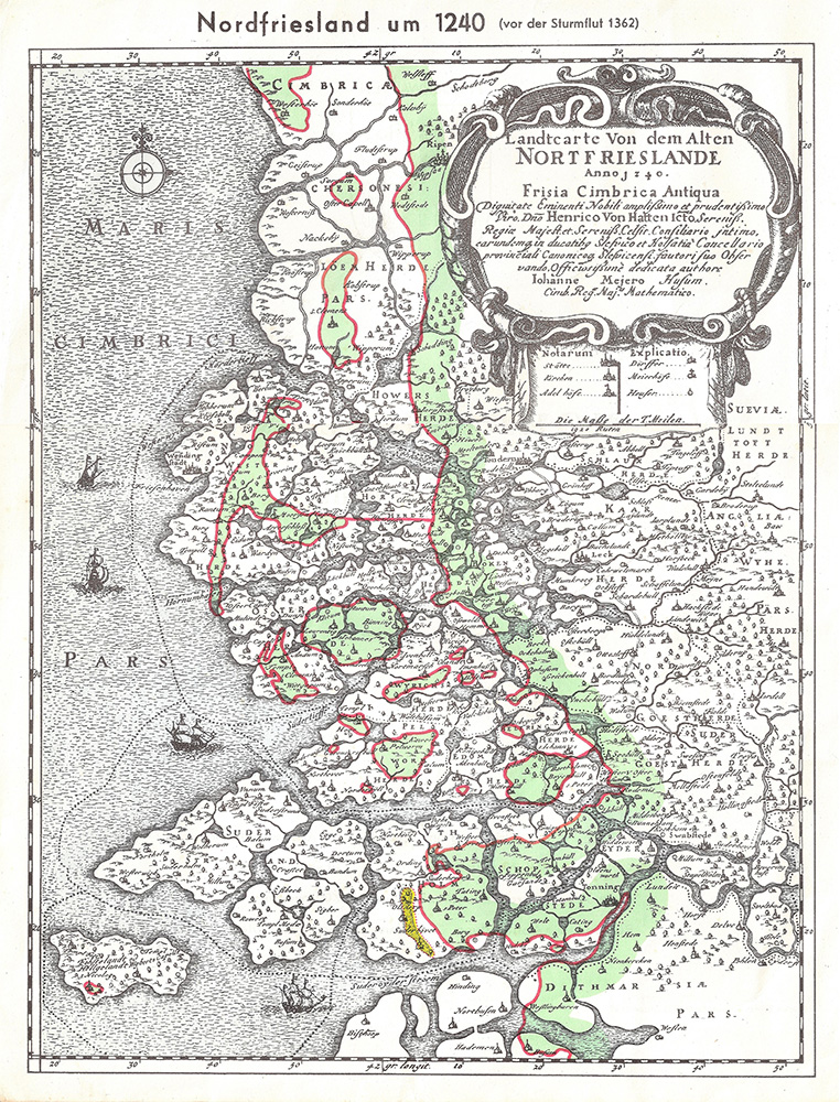
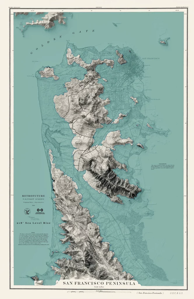
A different approach is the speculative cartography by designer Jeffrey Linn. His “retrofuture” maps appear like antiques but depict future scenarios. In this case, a partially flooded San Francisco Bay. His work is for sale here
USA; 21. Century; Christian; Photography, Maps, Illustration; Cities: San Franscisco, Hamburg